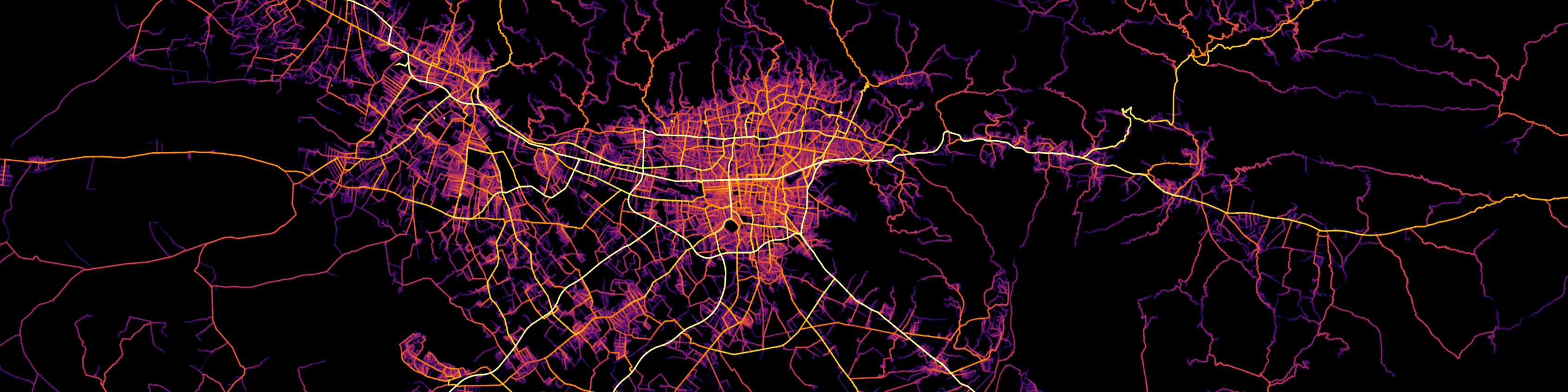
We bring spatial data science and humanly grounded evidence into cohesive insights that enable designers and planners to make informed decisions. We understand the complex social and spatial structures as one, and approach design and planning as an integrated process which explains both issues simultaneously.
Spatial Typology for Quelimane
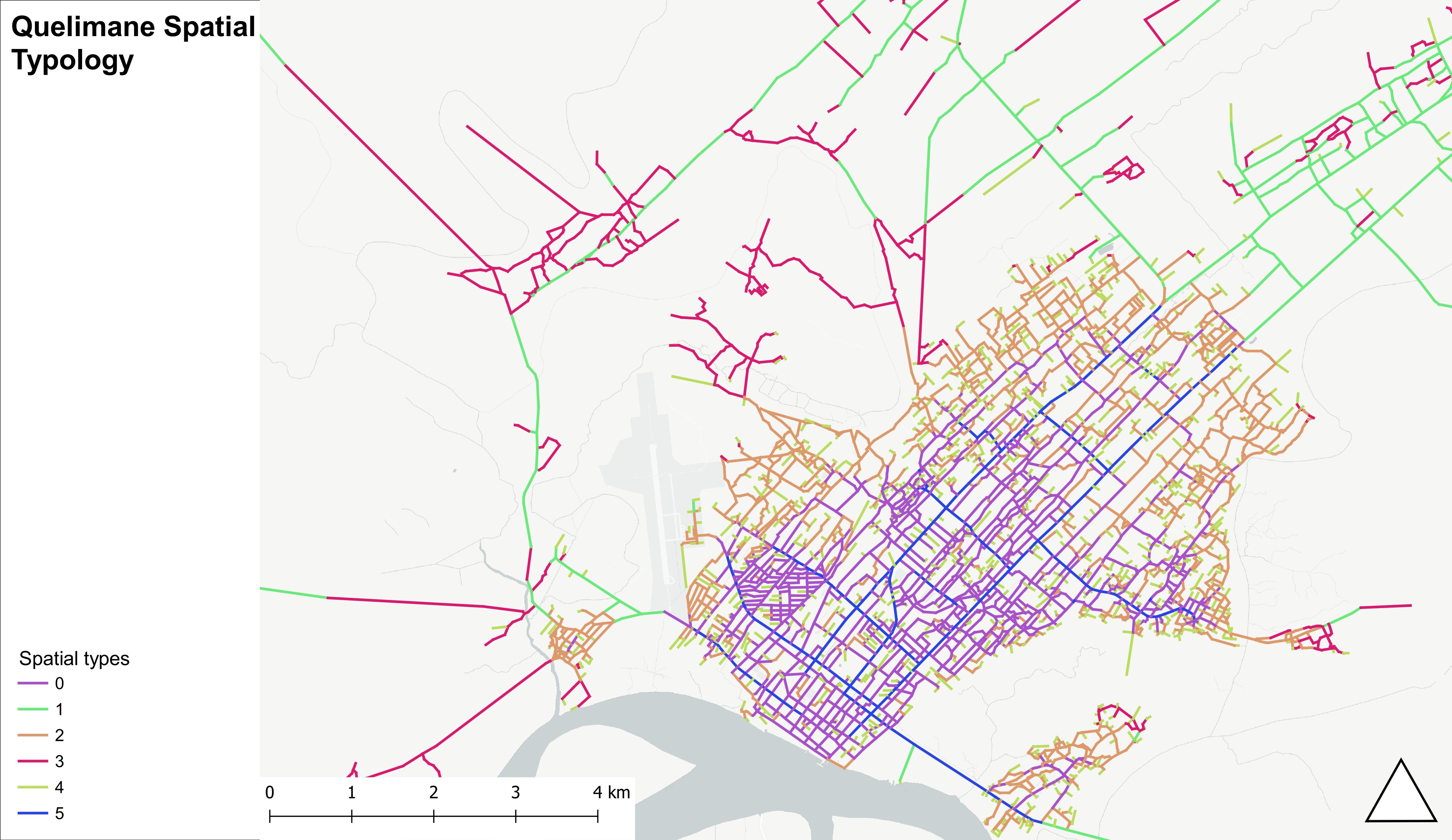
The Spatial Typology for Quelimane provides real-time insights into spatial inequalities within the region.
Insight & recommendation
The analysis showed that the combination of varied spatial and non spatial factors point to a typological classification of the spatial layout which can potentially accommodate different planning scenarios:
| Cluster | Profile Name | Description | Key Planning Implications |
|---|---|---|---|
| Type 0 | High-Density Residential Hubs | High population and many smaller plots at moderate elevation. | Priority for public transport and sanitation services. |
| Type 1 | High-Ground Low-Density | Slightly elevated areas with very few buildings and sparse population. | Potential conservation zones or future low-density expansion. |
| Type 2 | Low-Lying Transition Zones | Coastal or low-elevation areas with moderate density and small plots. | Focus on flood mitigation and drainage infrastructure. |
| Type 3 | Undeveloped / Open Space | Moderate elevation but nearly empty; smallest plots and lowest population. | Likely green belts, agricultural land, or industrial reserves. |
| Type 4 | Developing Lowlands | Low-lying areas with a high number of plots but moderate population. | At risk for unplanned growth; needs zoning oversight. |
| Type 5 | Core Urban Centers | Highest population density with the largest building footprints. | Maximum infrastructure load; focus on walkability and parks. |
Elbasan Industrial Heritage Revitalization
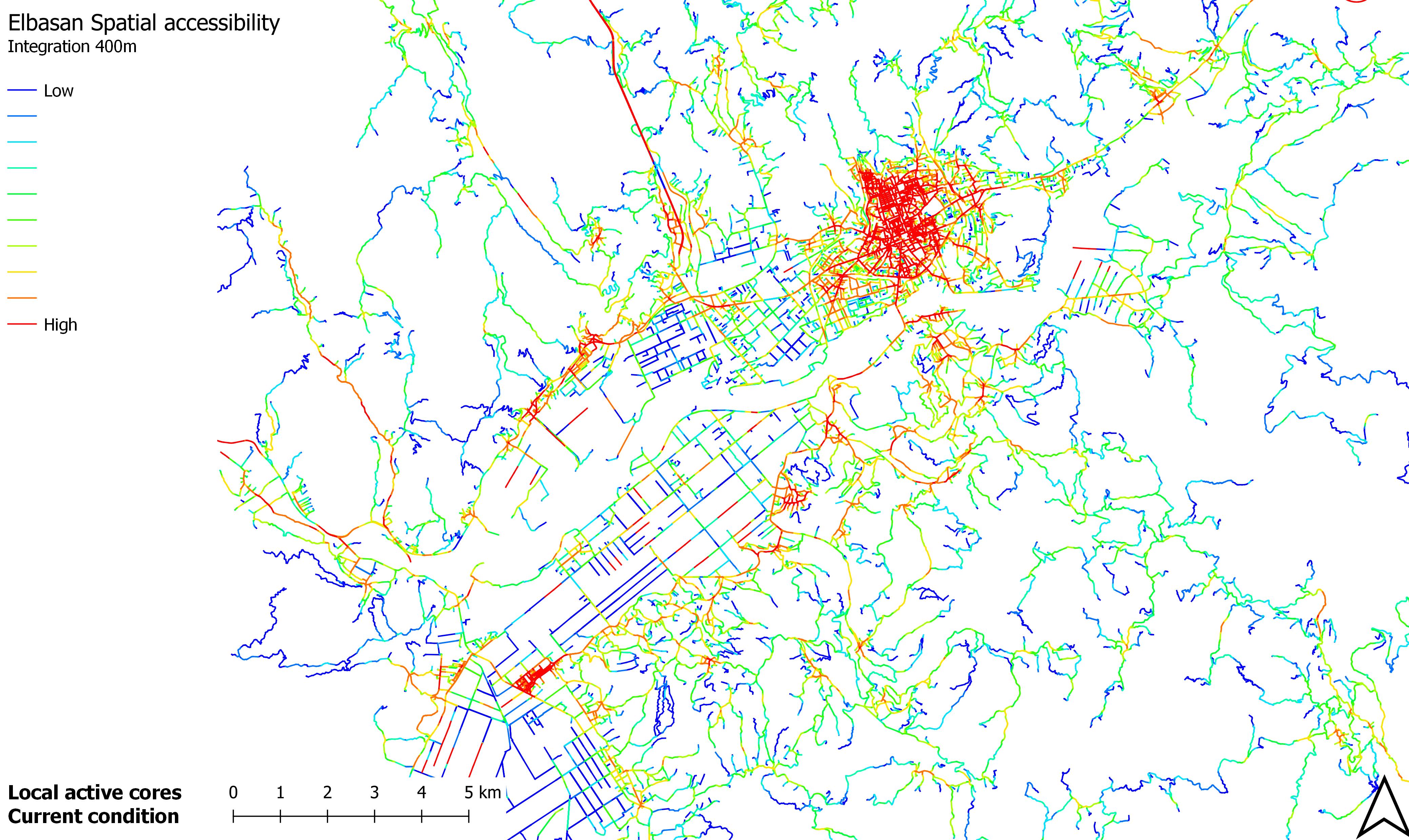
The study of the spatial configuration and characteristics of the city of elbasan, aiming to re-merge the industrial heritage with the modern urban fabric.
Oxford Street Pedestrainization analytics
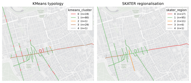
The multi-scale study of Oxford Street's spatial characheteristics and their way of impacting the pedestrianization policy in the long term.
We automate the spatial intelligence workflow; from data acquisition and processing through analysis, interpretation and reporting, dramatically reducing the time, labour and marginal cost required to produce high-quality spatial intelligence.
Unit 19, 2-4 Exmoor St
London W10 6BD, Kensington, UK
Tel: +44(0)20 8962 8962
post@studio-bednarski.com